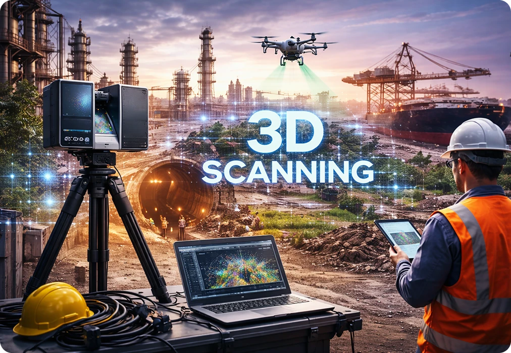
3D laser scanning
New: FARO® Focus i.1 & i.1 X are here — survey-grade 0.9 mm accuracy.

Menu
Close
- ScannerFARO® Focus series · Terrestrial
100 m · operations & public safety
200 m · AECO lifecycle capture
400 m · geospatial & infrastructure
0.9 mm object accuracy · localizer
400 m · GNSS/RTK georeferencing
Mobile scanningMobile laser scanner with Flash
Buy or lease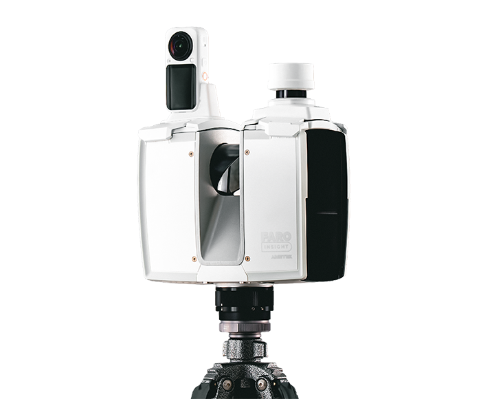 NEWJust launchedFocus i.1 Series
Survey-grade 0.9 mm accuracy, ~20 sec colour scans and GNSS/RTK georeferencing.
- Pano-Cam 360
- Solutions
Scan → point cloud → CAD/BIM · LOD 100–400
Built on BIM Keeper · 1D to 8D
Laser scans → accurate point cloud data
- Industries
- Events
- More
Our story, vision and founders
Real projects, measurable outcomes
Insights, guides and news
Open positions
Talk to our team
- ScannerFARO® Focus series · Terrestrial
100 m · operations & public safety
200 m · AECO lifecycle capture
400 m · geospatial & infrastructure
0.9 mm object accuracy · localizer
400 m · GNSS/RTK georeferencing
Mobile scanningMobile laser scanner with Flash
Buy or lease NEWJust launchedFocus i.1 SeriesSurvey-grade 0.9 mm accuracy, ~20 sec colour scans and GNSS/RTK georeferencing.
- Pano-Cam 360
- Solutions
Scan → point cloud → CAD/BIM · LOD 100–400
Built on BIM Keeper · 1D to 8D
Laser scans → accurate point cloud data
- Industries
- Events
- More
Our story, vision and founders
Real projects, measurable outcomes
Insights, guides and news
Open positions
Talk to our team