
Every successful construction project begins with accurate site information. Before architects create designs and contractors start building, surveyors must collect precise data about the site’s dimensions, topography, boundaries, and existing conditions. This process is known as site surveying.
Construction site surveys provide critical information that supports planning, design, construction, and asset management. Advances in technology have introduced new surveying methods that offer greater accuracy, speed, and efficiency compared to traditional techniques.
Understanding the different construction site survey methods can help project teams select the most appropriate solution for their specific requirements.
Why Site Surveys Are Important
Site surveys provide the foundation for informed decision-making throughout a project. Accurate survey data helps identify potential challenges, reduce construction risks, and improve project outcomes.
Benefits include:
- Accurate Design Planning
- Reduced Construction Errors
- Improved Safety
- Better Cost Control
- Faster Project Execution
Without reliable survey data, projects face increased risks of delays, rework, and budget overruns.
Traditional Surveying Methods
Total Station Survey
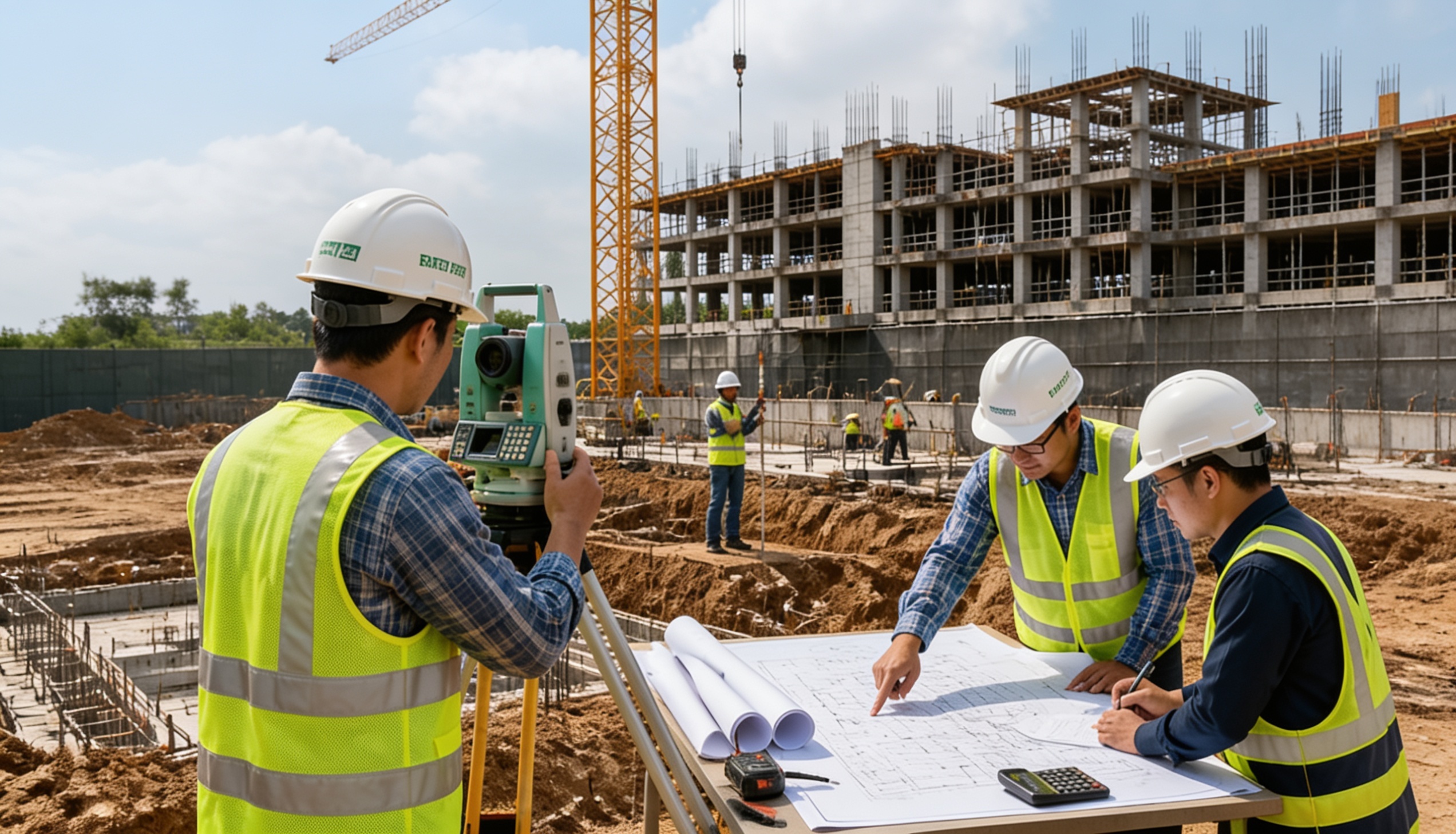
A Total Station combines electronic distance measurement with angle calculations to determine precise coordinates. It remains one of the most commonly used surveying tools.
GPS Surveying
GPS technology uses satellite signals to determine positions and coordinates. It is particularly useful for large sites and infrastructure projects.
Level Surveys
Level surveys help determine elevation differences across a site and are commonly used for grading and drainage planning.
Modern Construction Site Survey Methods
3D Laser Scanning
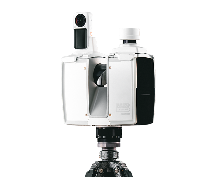
3D laser scanning captures millions of measurements in a short period, creating highly detailed point clouds that accurately represent site conditions.
Benefits include:
- High Accuracy
- Fast Data Collection
- Comprehensive Documentation
- Reduced Human Error
LiDAR Surveys
LiDAR (Light Detection and Ranging) uses laser pulses to measure distances and create detailed 3D models of environments.
LiDAR is widely used for:
- Infrastructure Projects
- Large Land Surveys
- Utility Mapping
- Digital Twin Development
Drone Surveys
Drone technology enables aerial surveying of large and difficult-to-access sites.
Advantages include:
- Rapid Data Collection
- High-Resolution Imagery
- Cost Efficiency
- Improved Safety
Comparing Survey Methods
| Method | Accuracy | Speed | Best Use Case |
| Total Station | High | Moderate | Small Projects |
| GPS Survey | High | Fast | Large Sites |
| Laser Scanning | Very High | Very Fast | Detailed Documentation |
| LiDAR Survey | Very High | Very Fast | Large Infrastructure |
| Drone Survey | High | Fast | Aerial Mapping |
Choosing the Right Survey Method
The ideal surveying method depends on several factors:
- Project Size
- Required Accuracy
- Budget
- Site Accessibility
- Data Requirements
- Timeline Constraints
For simple projects, traditional methods may be sufficient. For complex environments requiring detailed digital documentation, technologies such as laser scanning and LiDAR provide significant advantages.
The Role of Surveying in Digital Construction
Modern surveying technologies support advanced workflows such as:
- Scan to BIM
- Point Cloud Modeling
- Digital Twin Development
- Asset Management
- Facility Maintenance
These digital solutions are helping organizations improve efficiency while creating valuable long-term digital assets.
Conclusion
Construction site surveys play a critical role in project success. From traditional Total Station surveys to advanced LiDAR and 3D laser scanning technologies, each method offers unique advantages depending on project requirements.
As the industry continues to embrace digital transformation, modern surveying methods are becoming increasingly important for improving accuracy, reducing risks, and supporting smarter project delivery. Organizations that invest in advanced surveying technologies gain access to better data, improved decision-making, and more successful project outcomes.