Introduction
Capturing accurate information about an existing building, construction site, industrial facility or infrastructure asset is an essential part of modern project planning.
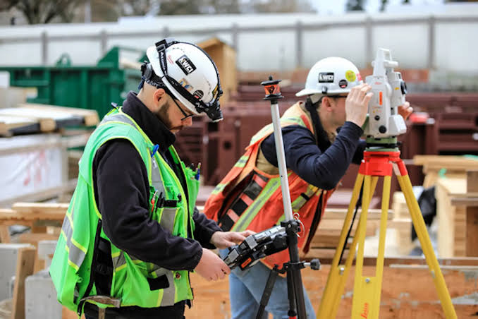
Traditionally, teams relied heavily on manual measurements, drawings and conventional surveying methods. Today, reality capture technologies such as 3D laser scanning and photogrammetry can capture detailed information about physical environments and convert it into usable digital data.
But which technology should you choose?
The answer isn’t simply 3D laser scanning vs photogrammetry.
Both technologies have different strengths, and the right solution depends on:
- Required accuracy
- Project size
- Indoor or outdoor environment
- Site accessibility
- Required deliverables
- Project budget
- Level of detail
- BIM requirements
- Survey requirements
- Project timeline
In some cases, the best approach is actually to combine laser scanning and photogrammetry.
Let’s compare the two technologies in detail.
What Is 3D Laser Scanning?
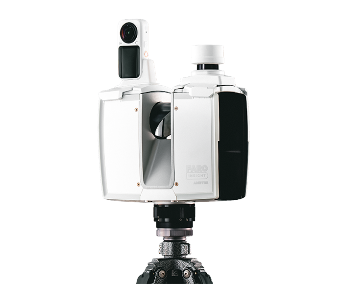
3D laser scanning is a reality capture technology that uses laser pulses to measure the distance between the scanner and surrounding surfaces.
The scanner collects thousands or millions of measurements to create a dense three-dimensional dataset called a point cloud.
A typical workflow looks like:
Physical Environment
?
Laser Scanner
?
Point Cloud
?
Registration & Processing
?
CAD / BIM / Digital Twin
3D laser scanning can capture:
- Walls
- Floors
- Ceilings
- Columns
- Beams
- Pipes
- Ducts
- Equipment
- Structural elements
- Building geometry
The technology is widely used for construction documentation, industrial facilities, renovation projects, BIM and as-built surveys.
What Is Photogrammetry?
Photogrammetry uses photographs to extract measurements and three-dimensional information from objects and environments.
Multiple overlapping images are captured from different viewpoints.
Specialized software identifies common features between photographs and uses them to reconstruct a 3D representation.
The workflow typically looks like:
Photographs
?
Image Processing
?
Feature Matching
?
3D Reconstruction
?
Point Cloud / Mesh / Orthomosaic
Photogrammetry can be performed using:
- Drones
- Cameras
- Smartphones
- DSLR/mirrorless cameras
- Specialized aerial platforms
It is particularly useful for large outdoor environments, where capturing imagery from above can be highly efficient.