What is Scan to BIM?
Scan to BIM is the process of capturing a physical space using 3D laser scanning and converting the scan data into a structured BIM model.
The scan creates a point cloud

100 m · operations & public safety
200 m · AECO lifecycle capture
400 m · geospatial & infrastructure
0.9 mm object accuracy · localizer
400 m · GNSS/RTK georeferencing
Mobile laser scanner with Flash
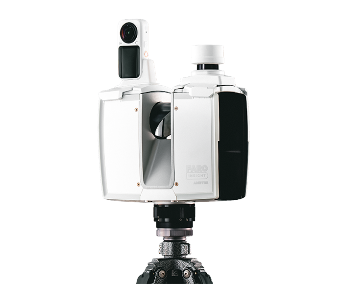
Survey-grade 0.9 mm accuracy, ~20 sec colour scans and GNSS/RTK georeferencing.
Scan → point cloud → CAD/BIM · LOD 100–400
Built on BIM Keeper · 1D to 8D
Laser scans → accurate point cloud data
Our story, vision and founders
Real projects, measurable outcomes
Insights, guides and news
Open positions
Talk to our team
100 m · operations & public safety
200 m · AECO lifecycle capture
400 m · geospatial & infrastructure
0.9 mm object accuracy · localizer
400 m · GNSS/RTK georeferencing
Mobile laser scanner with Flash
Survey-grade 0.9 mm accuracy, ~20 sec colour scans and GNSS/RTK georeferencing.
Scan → point cloud → CAD/BIM · LOD 100–400
Built on BIM Keeper · 1D to 8D
Laser scans → accurate point cloud data
Our story, vision and founders
Real projects, measurable outcomes
Insights, guides and news
Open positions
Talk to our team
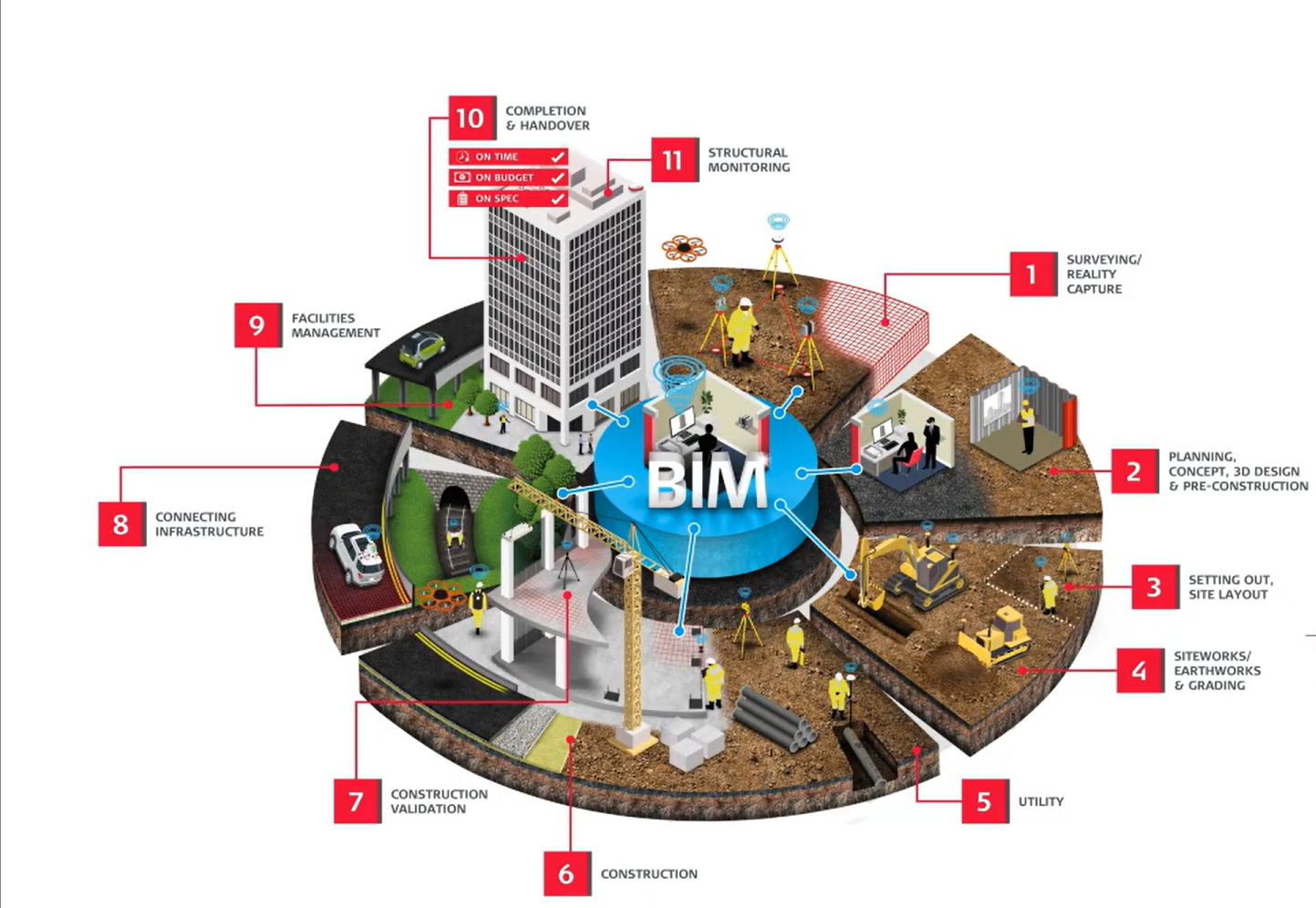
Scan to BIM is the process of capturing a physical space using 3D laser scanning and converting the scan data into a structured BIM model.
The scan creates a point cloud